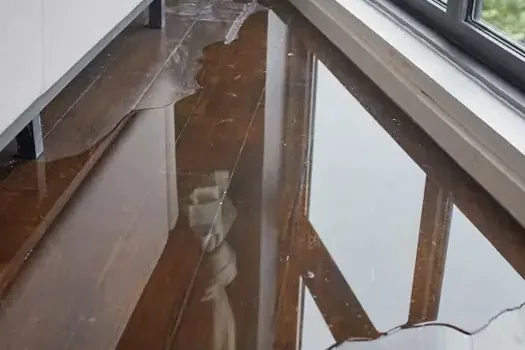
Stoughton is studying how floods happen in town, and the early results point to two priority areas. For anyone with a building in or near them, the study is a useful picture of where water may collect, even though it does not predict a particular storm.
Key takeaways
- Stoughton is working with the Neponset River Watershed Association on a climate resilience project to study local flooding, funded by a Municipal Vulnerability Preparedness Program Action Grant.
- Phase I ran town-wide storm simulations for different rainfall durations and volumes, and the results were presented at a virtual public meeting on February 13, 2024.
- The two highest priority areas for further study are the York Street and Redwing Brook area and the Downtown area.
- The culvert study inspected more than 70 culverts, and many were built decades ago and may not handle heavier rainstorms.
- The town posts a 2012 current effective Flood Insurance Rate Map and a 2023 preliminary one, with a swipe map to compare them.
What the flood study covers
The town is working with the Neponset River Watershed Association on a climate resilience project to study local flooding. A Municipal Vulnerability Preparedness Program Action Grant pays for it.
Phase I ran town-wide storm simulations for different rainfall durations and volumes. The results were presented at a virtual public meeting on February 13, 2024.
The simulations show where water is likely to collect in different kinds of storms. They are planning tools, not a record of past damage.
The two priority areas
The study named two areas as the highest priority for further flood study. A priority in the study means more modeling, not a prediction that those streets will flood.
The practical value is awareness. An owner in either area can use the study to plan drainage, protect valuables and know where to look first after a heavy rain.
- York Street and Redwing Brook area: one of the two highest priority areas for further study.
- Downtown area: the second priority area.
- Other areas: not named as priorities, so owners elsewhere should not assume safety or risk from this list.
Culverts: small structures, big job
A culvert is a pipe or channel that carries a stream or runoff under a road or driveway. When it cannot keep up, water backs up and spills over the surface toward whatever is lowest.
The culvert study inspected more than 70 culverts and produced a preliminary list of those most in need of upgrades. Many of the town's culverts were built decades ago and may not handle today's heavier rainstorms.
Culverts clog with leaves, branches and trash, and a heavy storm tends to arrive just after the fall leaves drop.
Clearing an accessible inlet before the rain is a simple step, and a blockage on a larger structure is reported to the town.
- Blocked inlet: debris stops the flow and water backs up.
- Undersized pipe: too small for heavy rain, so water overflows the road.
- Damaged pipe: cracks and collapse reduce the opening.
- Driveway culverts: worth a look by any owner who has one on the property.
Reading the 2012 and 2023 flood maps
The town posts a 2012 current effective Flood Insurance Rate Map and a 2023 preliminary one, with a swipe map to compare them.
The effective map is the one in force, and the preliminary map is a draft that can change before it is adopted.
A flood map shows regulated flood zones, not every place water collects. A building outside a mapped zone can still take on water from a blocked culvert or a downpour.
- Find the property on both maps and note any change.
- Treat the preliminary map as a draft, not a final answer.
- Ask the insurer how the map affects coverage and rates.
- Keep a record of past water so the owner has a local history.

More heavy rain and windy storms: what records show
The Neponset River Watershed Association says weather records show more heavy rainstorms, more drought, more days at 90 degrees or more, and more intense windy storms in the Stoughton area.
Heavy rain tests culverts and drains. Windy storms can cut power, which stops sump pumps just when they are needed.
None of these trends is a forecast for a particular street. They explain why the town is studying drainage, and why owners benefit from simple precautions.
- Heavy rain: tests culverts, storm drains and sump pumps.
- Windy storms: can cut power and damage roofs and siding, which lets rain in.
- Hot days: air conditioners run longer, and a blocked condensate drain can overflow.
What a property owner can do before a storm
A study helps most when it turns into a short plan. The steps below are cheap compared with the cleanup after water has already come in.
None of them depends on being inside a priority area.
- Look up the property on the town posted maps and note any difference between the 2012 and 2023 versions.
- Clear gutters, downspouts and storm drains near the building before heavy rain.
- Test the sump pump, if the property has one, and think about a battery backup.
- Lift stored items off the floor and keep important papers in a waterproof container.
- Photograph the property in good condition, so any later claim has a clear before and after.
If water reaches a building
First steps
Power to wet areas comes off from a dry spot, and the household stays out of standing water that may touch wiring. Photos are taken before anything moves, and small valuables go up on a high shelf.
Water that comes from outside is Category 3, so the household avoids contact and waits for protective gear before cleanup.
- Photograph the water and the damage.
- Move small valuables and papers to a dry place.
- Shut off the main water valve if a pipe is also leaking.
- Keep children and pets out of the wet area.
Cleanup and drying
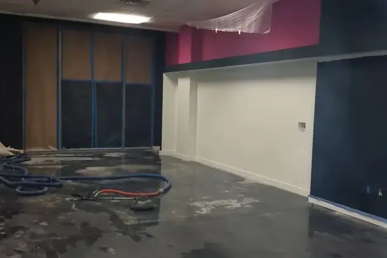
Flood water cleanup starts with pumping out standing water, then removes porous materials and treats what stays. Drying equipment runs until the readings are normal.
Rain that comes through a roof, window or wall is covered under storm water damage. The main flood water cleanup service page and the local water damage pages show how the work is organized.